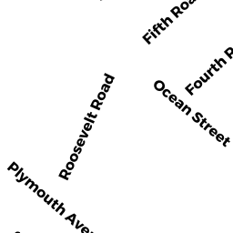
17 FOURTH ROAD
Owner Information
INNES GARY M
397 CEDAR STREET
HANOVER, MA 02339


Property Details
17 FOURTH ROAD is classified as a Single Family Residential (Old style).
The primary structure on this property was built in 1948. There are 1,440ft2 of built area within this property. There is 1,440ft2 of residential/living space within this property. This property is listed as having 7 rooms.
17 FOURTH ROAD is valued at $478,700. The land is valued at $366,400 and the structures are valued at $112,300.
This property is in Zone R-3. Confirm with local Zoning Board authorities to ensure there are no overlays or other easements on this property.
The most recent deed for 17 FOURTH ROAD is recorded at the local registrar in Book 13354, Page 74. 17 FOURTH ROAD was last sold on Tuesday, January 3, 1995 for $0.
Assessment data from fiscal year 2022.
Flood Data
This property is completely within the AO Zone (shallow flooding, up to 3 feet).
This information is sourced from the FEMA National Flood Hazard Layer. See our full disclamer.
Broadband Internet Providers
| Provider | Type | Bandwidth (mbps) | |
|---|---|---|---|
| Verizon New England Inc. | Fiber | 940 | 880 |
| GCI Communication Corp. | Satellite | 0 | 0 |
| VSAT Systems, LLC. | Satellite | 2 | 1 |
| HughesNet | Satellite | 25 | 3 |
| Viasat Inc | Satellite | 100 | 3 |
| Comcast | Cable | 1000 | 35 |
Broadband service provider data from December 2020.